California snowpack now above average, but will it last?
2/2
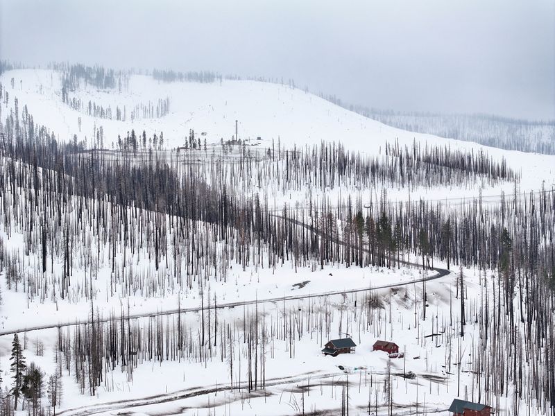
FILE PHOTO: An aerial drone view of the Sierra Nevada Mountain peaks near Phillips Station meadow, shortly before the California Department of Water Resources’ third media snow survey of the 2024 season, California, U.S., February 29, 2024. Fred Greaves/C
2/2
By Daniel Trotta
(Reuters) – A blizzard that dumped up to 10 feet (3 meters) of snow on the California mountains in recent days has pushed snowpack levels above average for the first time this year, a welcome bounty before hot and dry weather inevitably returns.
But experts warn much of the excess could be washed away by a warm rainstorm, and that snow levels measuring just a few points above average will fail to solve long-term problems.
California, home to nearly 40 million people and a $50 billion agricultural industry, keeps a close watch on snowpack in the Sierra Nevada as a reserve for future water supplies.
After suffering historic drought for much of this century, the state is on track for a second wet year in a row.
The precipitation will help recharge aquifers and reservoirs, improve fish habitat and ease constraints on farmers. While the moisture may stave off fire conditions for now, rain also promotes vegetation growth that will fuel future wildfires.
“It’s a pretty stark contrast to where we were in January, when we had very little snow on the mountains,” said Heather Cooley, director of research at the Pacific Institute, a think tank focused on water. “But there’s still a long way to go to erase the overextraction that we saw during the dry years.”
With droughts becoming more frequent and intense as a result of climate change, policy-makers must press forward with projects such as water recycling, stormwater capture and floodplain restoration to ensure long-term supplies, Cooley said.
“We can’t be distracted by one year, even two good years,” Cooley said.
Statewide, snow levels were at 104% of average for March 4, according to the California Department of Water Resources, with northern region at 111% of normal and the south at 94%. But water managers place more importance on snowpack measurements as of April 1, the traditional peak, and the current level statewide is only 94% of the April 1 average.
Moreover, the recent blizzard was an outlier from this year’s warm, rainy weather. Another warm rainstorm would wash away much of the reserve and increase flood risk.
“The last thing we need is a really warm, wet storm that rolls through and causes a lot of a lot of flooding and leads to all the snow melt all at once,” said Justin Collins, meteorologist with the National Weather Service office in Reno.


